Woodford & Lord Sydenham

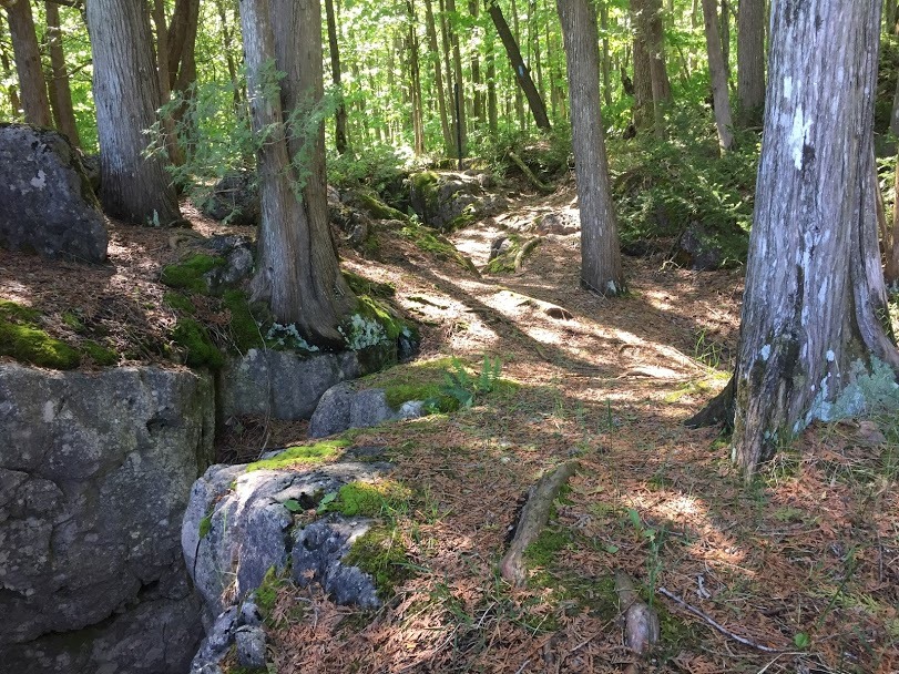
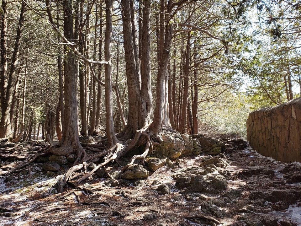
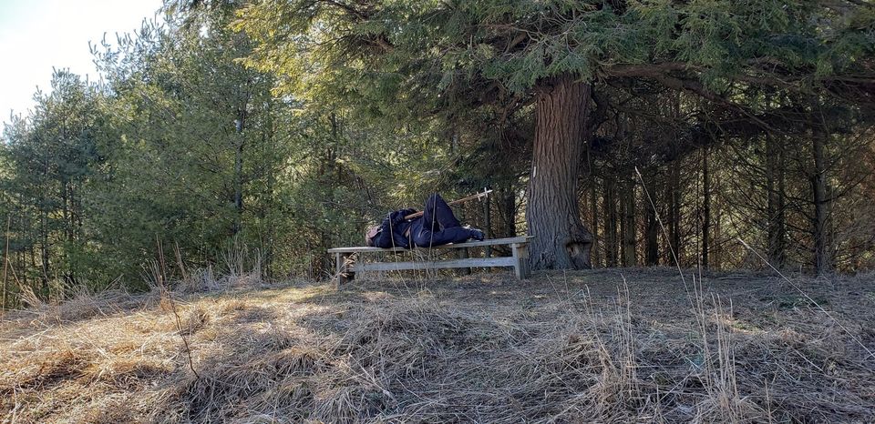
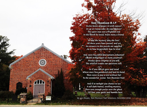
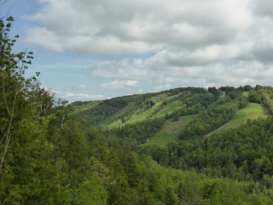
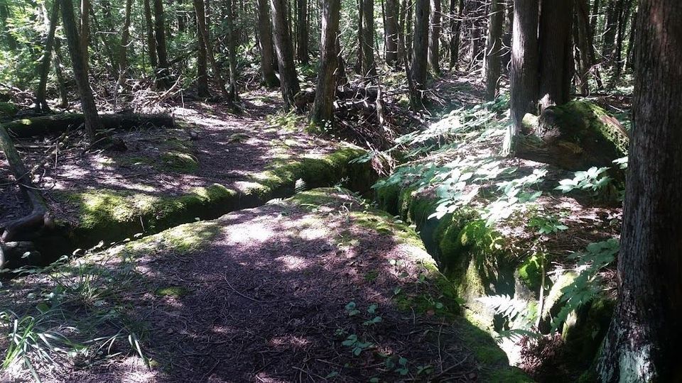
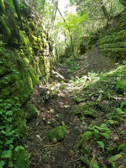
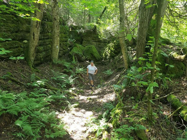
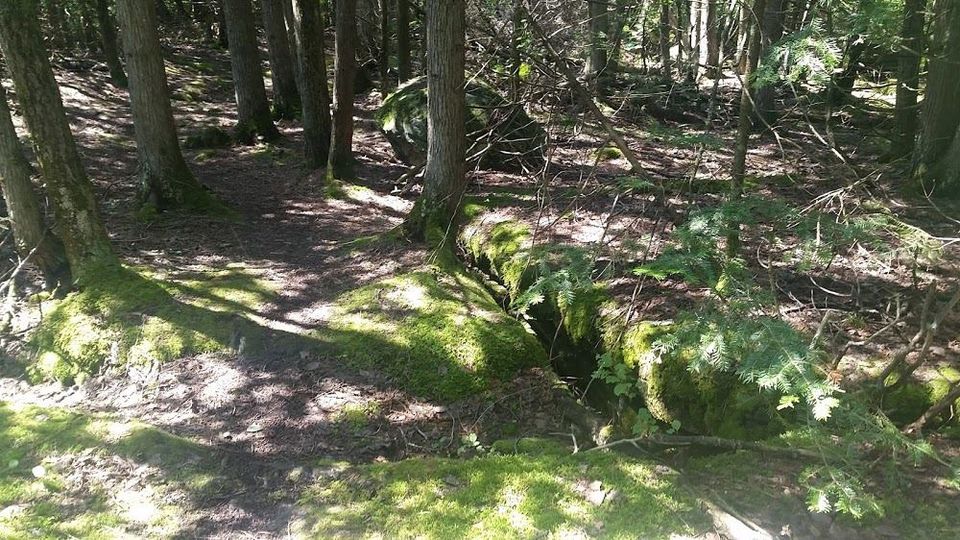
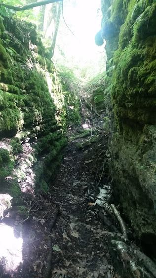
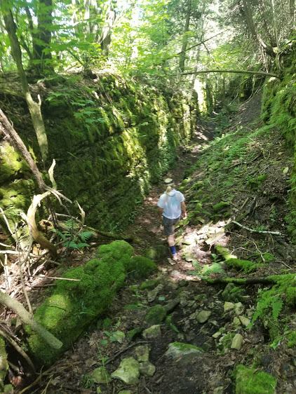
This is about a 14 kms hike through crevices, bogs, amazing forests, and all along the escarpment ridge. I began my hike in Woodford, a very small hamlet on Hwy 26, in Sydenham Township near Owen Sound. The Township was named in part for Lord Sydenham, governor of Canada from 1839 to 1841.

Sydenham Township was surveyed in 1842, with concessions running north to south, and at that time the land consisted mainly of hardwood forest. Immigrants from Scotland and Ireland began to settle this area at about this time. The first mill was built in 1846, and the first school section was organized in 1851.

The first post office, at Woodford, was established in 1852. In 1853 the residents organized an Agricultural Society. By 1861 there were over 3,000 people living in the township.

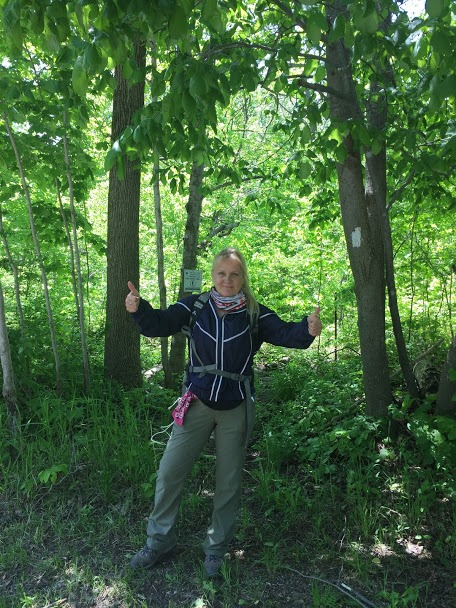
Although telephone lines were connecting nearby towns as early as 1886, it was not until 1908 that telephones began to be installed in Sydenham Township. There is definitely a warm energy surrounding Woodford, like a cozy blanket on a cool winter’s night.

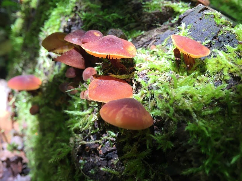
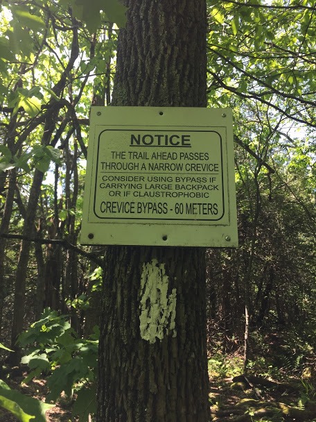
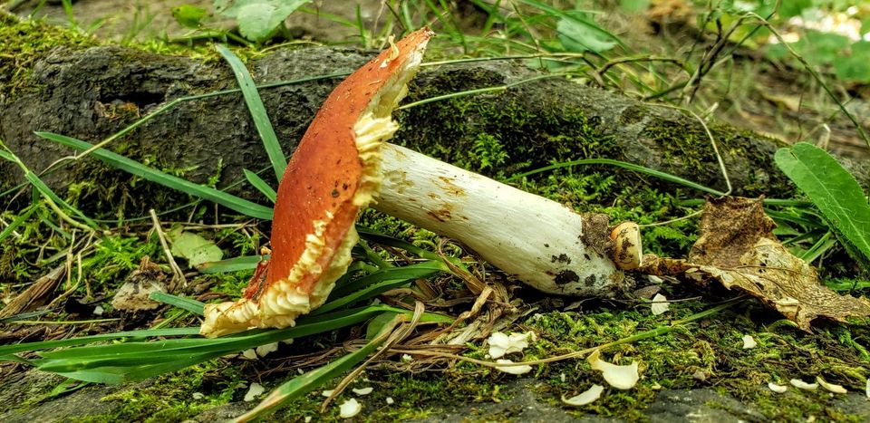
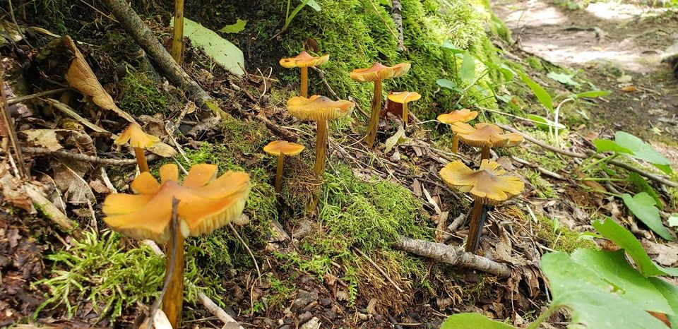
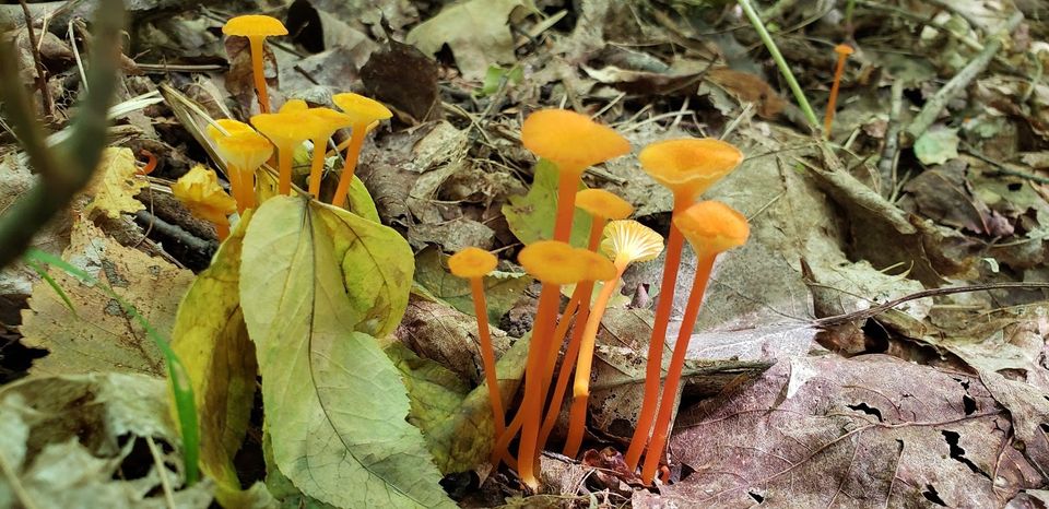
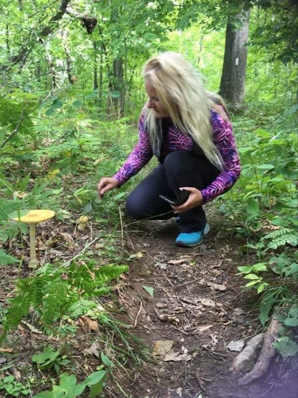
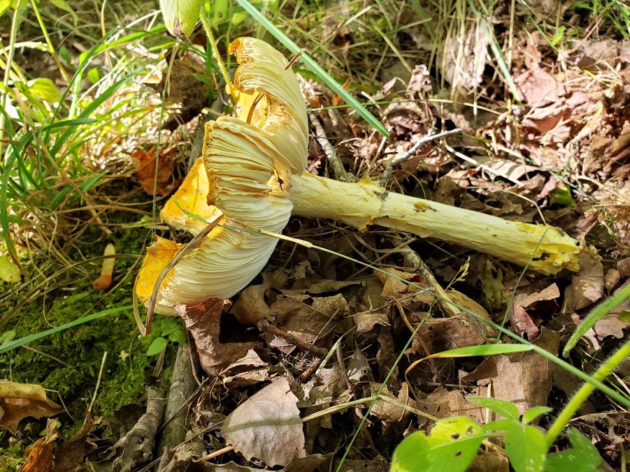
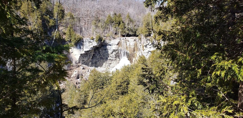
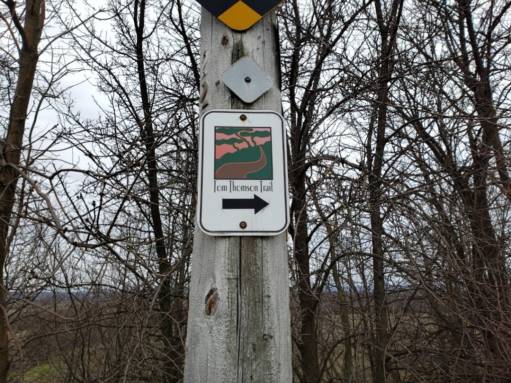
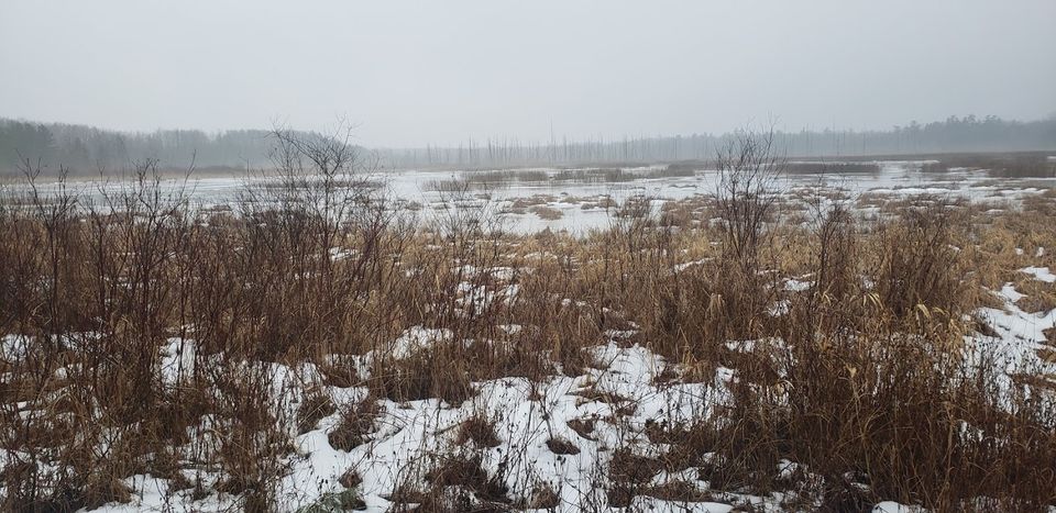
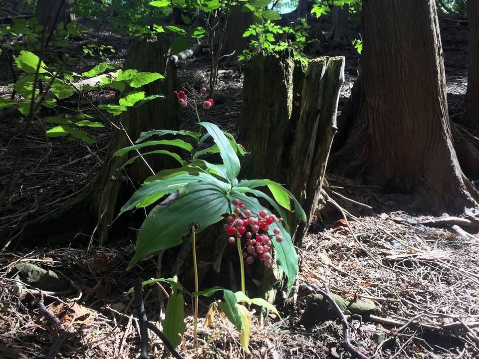
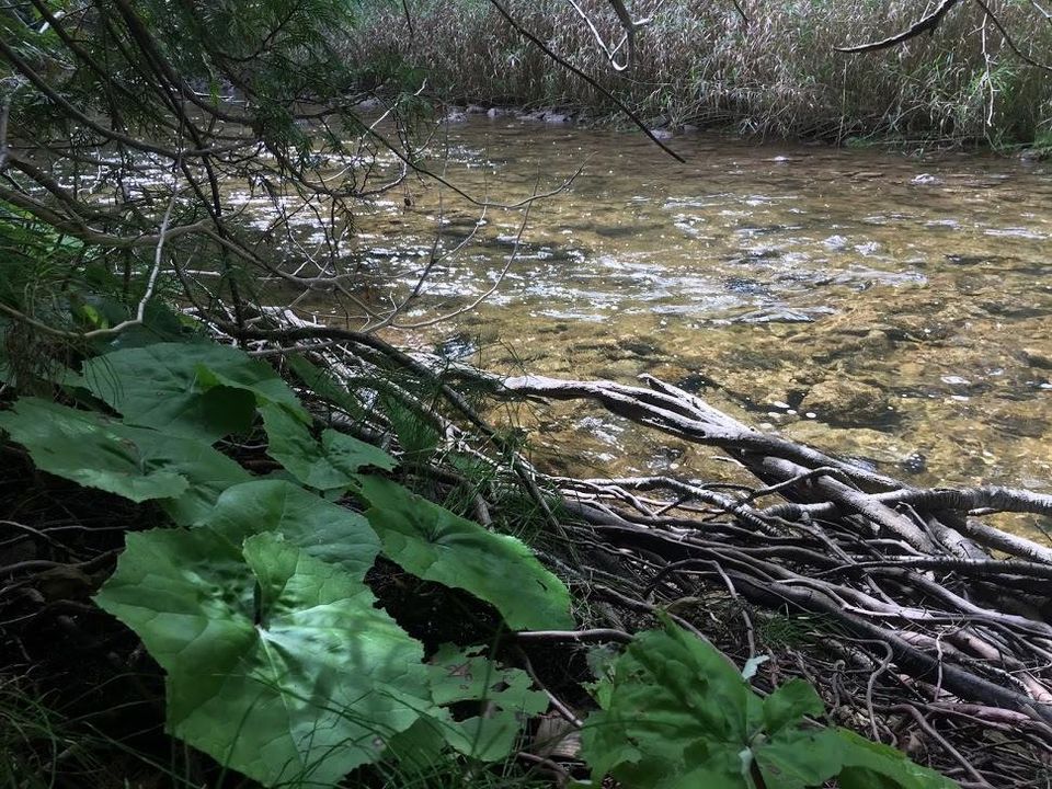
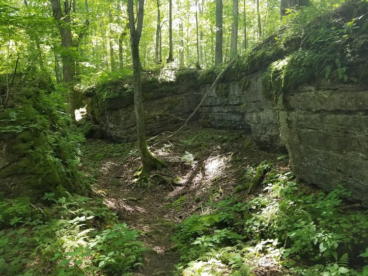
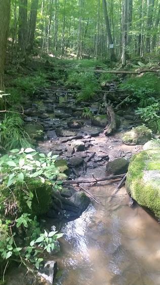
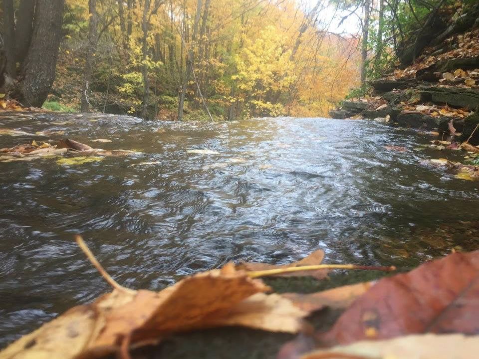
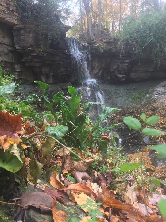
The end point is so peaceful, as I hiked out of the final crevice system, I crossed hwy 26 and re-entered into an amazing crevice system. I followed the main trail to the Bognor Marsh and the big red chair. Leave yourself extra time, if you want to do this hike. The terrain is very rocky and there are many hills that need your full leg strength to get up and down. It is so worth it, though! Such life and magical rock and plants live here. Signing off “Hiking with the Viking”! To hike here: Sydenham Bruce Trail Club, Woodford, Map 30

The Wood Wide Web

The Magical World of Forest Fungi

I hiked Skinners Bluff in Wiarton where the fungi are out in huge numbers & varieties right now, likely thanks to the rain and humidity. Fungi play an intricate part in our ecosystem, providing nutrients to the trees in exchange for sugars. But even more, beneath every forest, there is a complex underground web of roots, fungi, and bacteria helping to connect trees and plants to one another. It is the fungi that connects it all and has been dubbed “The Wood Wide Web”. This underground system is the earth’s internet, and natural networking. Get out there!! It’s an incredible time to hike, signing off, “Hiking with the Viking”. September 2020

Silent Valley and the plane crash site

Tucked between the gentle slopes of a long-vanished glacial landscape and the Niagara Escarpment is an oasis of peace and tranquility on the side trails of Silent Valley. It has a past that extends 12,000 years to a time of glacial retreat and the depositing of its rock and silt on the gouged land. Time moved forward to the settling by pioneers on the land in the 1800s, Evidence of these past events is found on Escarpment hills of glacial talus rock, the fossils throughout the area and the ruins of a sturdy homestead owned by the Wilson family. To the west of the homestead is the site where, in 1970, a Cessna 205 crashed in the trees, tragically taking the lives of the 4 people in the plane. I opted not to hike the Avalanche Pass side trail where the talus rock is so incredible due to timing being so close to sunset. On another day, I will return to finish it. As it was, I left this amazing forest with just the hue of the setting sun adding a glow to the sky. After, I went to Ted’s Road Side Diner for a bite to eat and a visit with an old friend. Signing off, “Hiking with the Viking”. Sydenham Bruce Trail Club Map #30, Woodford

For hiking location purchase map #30 @ Bruce Trail Conservancy

Paleozoic Era

“I’d like to be, under the sea, in an octopuses garden in the shade…”Well, did you know that you actually are living under the sea? This land that we live on was once called the Laurentia located at the Equator and covered by ancient warm water shallow seas, 500 million years ago! The evidence is in the many varieties of fossils and plant life you find here. The rock layers, which are shale at the bottom and dolomite/limestone on the Niagara Escarpment caprock are the coral and sea bottom of that sea.

The Wonderful World of Fungi

The fungi that you find on the Niagara Escarpment descended from one common ancestor that probably colonized the land during the Cambrian Period in the Paleozoic Era, over 500 million years ago, (Taylor & Osborn, 1996), but terrestrial fossils (land) had only become uncontroversial and common during the Devonian400 million years ago. It is probable that these earliest fungi lived in water and had flagella, as many of my hike pictures of fungi show amellae, or more commonly known as “gills”, on them.

Eugenia Falls – Hoggs Falls via Cuckoo Valley

Fun Facts

1. In 1852, an early settler named Brownlee near Flesherton, discovered a waterfall falling 30 metres over the Niagara Escarpment to the Beaver River below – Eugenia Falls. He saw some glittering in the rock and thought that he discovered gold, but alas, it was “fools gold”. It triggered the areas first and only gold rush and leaving about 200 “miners” none the richer.

2. In 1893, William Hogg, a local businessman, built the area’s first electrical generator on the river below the falls. Using a paddlewheel to generate 70 kW from a 6 metres (20 ft) head of water, the station barely produced enough electricity to meet the needs of Eugenia and Flesherton.

3. A second attempt at hydro generations was made between 1906-1907 by the Georgian Bay Power Company. A tunnel was dug through the hill beside the top of the falls to the valley floor below. The two stone arches still remain.

4. By 1870, four mills operated on the Beaver River, and the growing community of 200 also featured several stores, Presbyterian and Methodist churches, a school, a carriage factory, a blacksmith, a cobbler and a carpenter. We then hiked on to Hoggs Falls through Cuckoo Valley, which has an elevation of 346 meters. A lot of ups and downs through the woods and crossing the Boyne river, until we reached the 7 meter tall falls. It was named after William Hogg. Although Hoggs Falls is small, the volume of water from the Boyne River pouring over it is plenty and the ice dripping down the banks is spectacular! It was too icy to get close to, so we opted to not stay long.. A good hike with Steve who always makes me laugh, and is a real trooper on the trails. Signing off, “Hiking with the Viking”. To hike here, Bruce Trail Beaver Valley Club, Map 26, Eugenia

Tom Thomson Trail

April 30, 2020, I began the 41 km hike on the Tom Thomson Trail, from Meaford to Owen Sound. I finished on May 3.

The North-Grey Railway was originally planned for Collingwood – Owen Sound, but the line between Meaford (completed 1872) and Owen Sound was never finished. The Tom Thompson Trail begins at the original rail plan and follows the mysterious death trail of Tom Thomson, ending at his second burial site in Leith just outside of Owen Sound. He grew up in the Leith and Annan area in Meaford. On July 8, 1917, the renowned Canadian artist disappeared during a canoe trip on Canoe Lake in Algonquin Park at 39 years old. His body was discovered eight days later. Today his death is still shrouded in mystery: was it an accident, suicide, or murder? For years, rumors of a cover-up have persisted, indicating that Thomson was murdered. An impressive list of suspects has been suggested for the deed, although convincing evidence has been slim. Did he end his life out of fear of being forced to marry his pregnant girlfriend, Winifred (Winnie) Trainor? The body was put in a steel casket and buried in the graveyard at Canoe Lake. Two days later the body was exhumed, put in a sealed casket, and reburied at the family plot in Leith, ON a beautiful Village just outside of Owen Sound. A botched investigation has left Tom Thomson’s death an unsolved murder(or was it?) mystery ever since. Historical hikes are fun and I have also posted his painting with each picture. Signing off, “Hiking with the Viking”. Map – Tom Thomson Trail

Trout Hollow Trail

Meaford, ON

The Bighead River runs through Trout Hollow in Meaford (first called Peggy’s Landing), named after the Trout family who built the sawmill there in 1850. The entrance to the trail is beside Bakeshop Bridge and has the remains of the Wm. Moore & Sons Flour Mill; originally built by Jessie T. Purdy in the 1840’s. Interpretive signage on the Trail is found at the ruins of the sawmill, grist mill, hydro dam and powerhouse, built by The Georgian Bay Milling & Power Company, and in all reminding us of the past. John Muir aged 26, was an early advocate for the preservation of wilderness, and worked at the sawmill from 1864-1866 before going back home to the U.S. If you walk from both ends you will see a good portion of the scenery that inspired John Muir in his studies and writing. He loved this area and spent most of his spare time in the woods learning from the plants and marveling at the mysteries of nature.Quote from John Muir about Trout Hollow. “We live in a retired and romantic hollow,” he wrote in May of 1865. “Freshness and beauty are everywhere — flowers are born every hour — living sunlight is poured overall, and everything and creature is glad — our world is indeed a beautiful one…” I would have to agree with John – 100%. Signing off, “Hiking with the Viking” p.s. my good friend Amy Phelan created a fantastic short film “John Muir at Trout Hollow”. Map Trout Hollow

Bognor Marsh and tale of the The Turkey Tail

I hiked a 5.1 km loop around the wondrous Bognor Marsh, which features an open marsh, semi-flooded wetland, grassy meadows, and the Niagara Escarpment. The Marsh was originally a hardwood forest, but was continually flooded, creating a swamp, then a marsh. Once on top of the ridge, the world changes into a place of varied forests, erratic rock that was dragged here by glaciers 12,000 years ago and a world of fungi still at work digesting the fallen trees. Without the various fungi, such as the Turkey Tail, our forests would not be healthy. Fungi are needed to decompose rotting wood, remove diseased and weak trees, and supply nutrients through the soil to help healthy trees to thrive. Unlike plants, fungi have no chlorophyll and can’t make sugar from sunlight the way trees do. In exchange for nutrients and water, trees send life-giving sugars down to its roots to feed these fungi. It’s a mutualistic relationship 600 million years in the making. And we think that we are a smart species – not even close to these incredible life systems. Hike a Marsh, you will be happy that you do! Signing off, “Hiking with the Viking”. Hike: Sydenham Bruce Trail Club, Map #30, Woodford

Devils Glen Provincial Hike Bruce Trail

Situated on the Niagara Escarpment 518 m above sea level, this park features rock outcrops, forested slopes and wetlands, and protects a geologically significant incised river valley. Meltwater from the last retreating glacier carved the steep gorge of Devil’s Glen, where the Mad River now winds its irregular route. Today, I did a 7 km in-and-back hike, meaning I double backed to the beginning point. The first part of the trail is beautiful, the second part is a long, darker forest and can get quite muddy. Be prepared to look for the smallest of life in there, like frogs, snails and caterpillars. Thanks to the Blue Mountain Bruce Trail Club for their care of this section! Happy Hiking Everyone! Blue Mountains Bruce Trail Club. Signing off, “Hiking with the Viking”. Blue Mountain’s Club, Map 22, Devil’s Glen

The Glen Management Area and the Black Stone Creek

Natural area of varied forests, beaver ponds, marshes, and abandoned pastures; Niagara Escarpment and the Bruce Trail; remnants of an early sawmill from the area’s historically important logging industry; geologically interesting features such as glacial marks on bedrock, ancient shore boulders and walls upon walls of deep ancient crevices that seem to never end. What an incredible hike. Sydenham Bruce Trail Club, Map 33, The Glen

Webwood Falls, Fairmount Passage, Grey County

The Webwood Falls Nature Reserve is located north of the Town of Kimberley in the municipality of Grey Highlands. A true cascading waterfall, although not a ‘bridal veil’ falls such as you find at Indian Falls or Hogg’s Falls, it’s much more akin to Walter’s Falls in style. The water flow is definitely not heavy, but energetic none-the-less! Below the falls, the property flows off into a striking ravine, well-covered with a lush growth of plants. the historical significance (it’s formerly a mill which served much of the county), and the remnants of the original garden (are all highlights)The falls are located no more than 100 metres off the nearest side-road, making it one of the most easily reached waterfalls in the county. The stream continues through a deep, forested river valley that cuts through the southern portion of the property. A tranquil place to be. Signing off, “Hiking with the Viking”. Map 28, Beaver Valley Bruce Trail Club