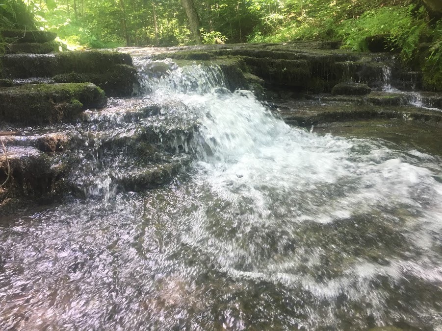
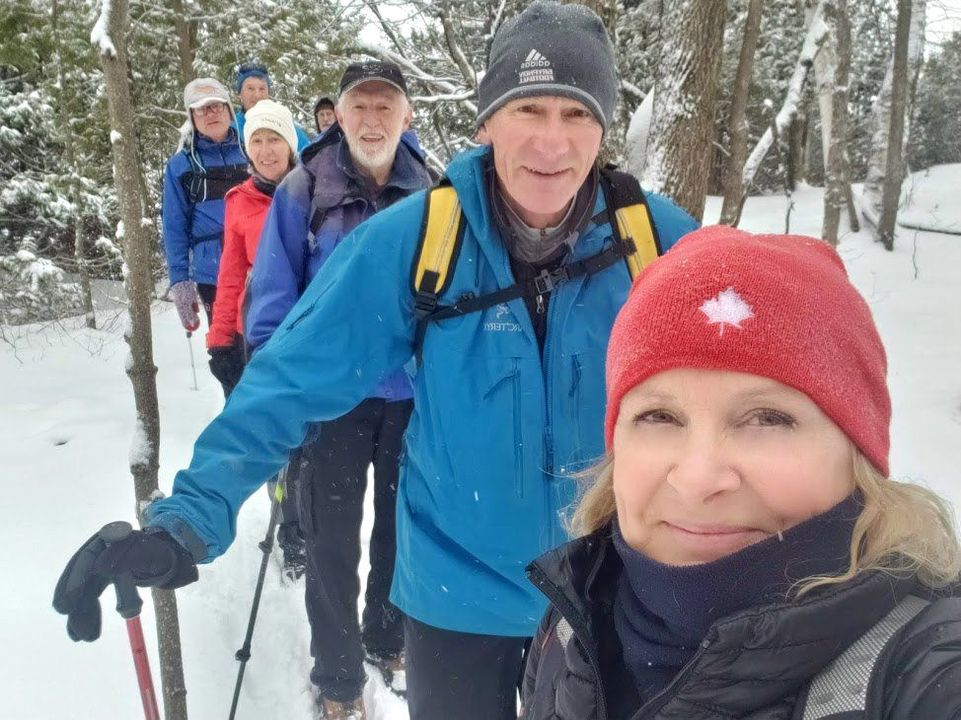
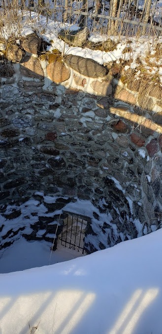
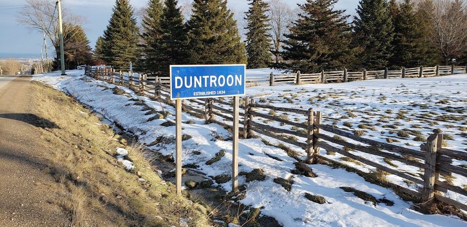
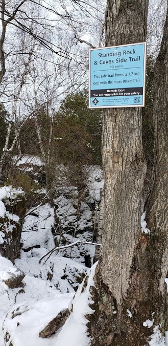
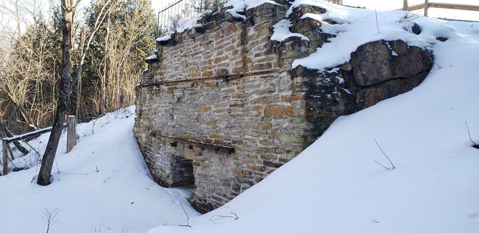
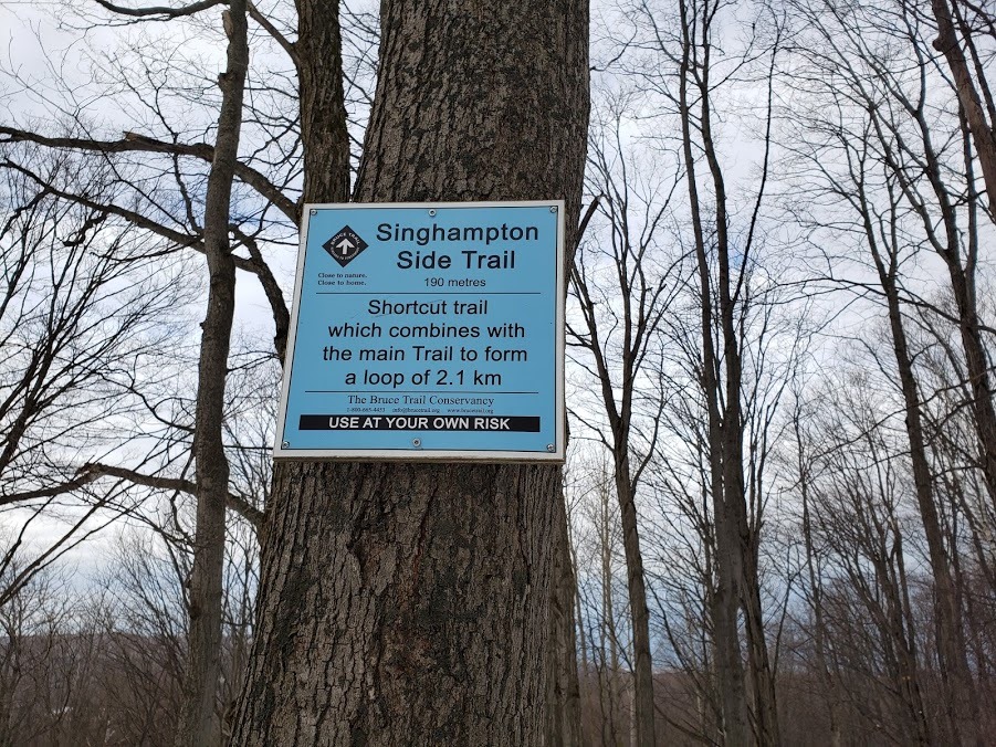
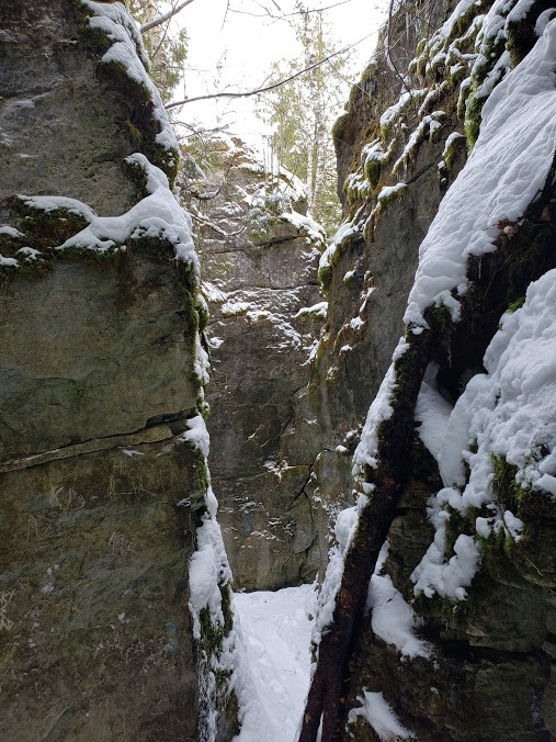
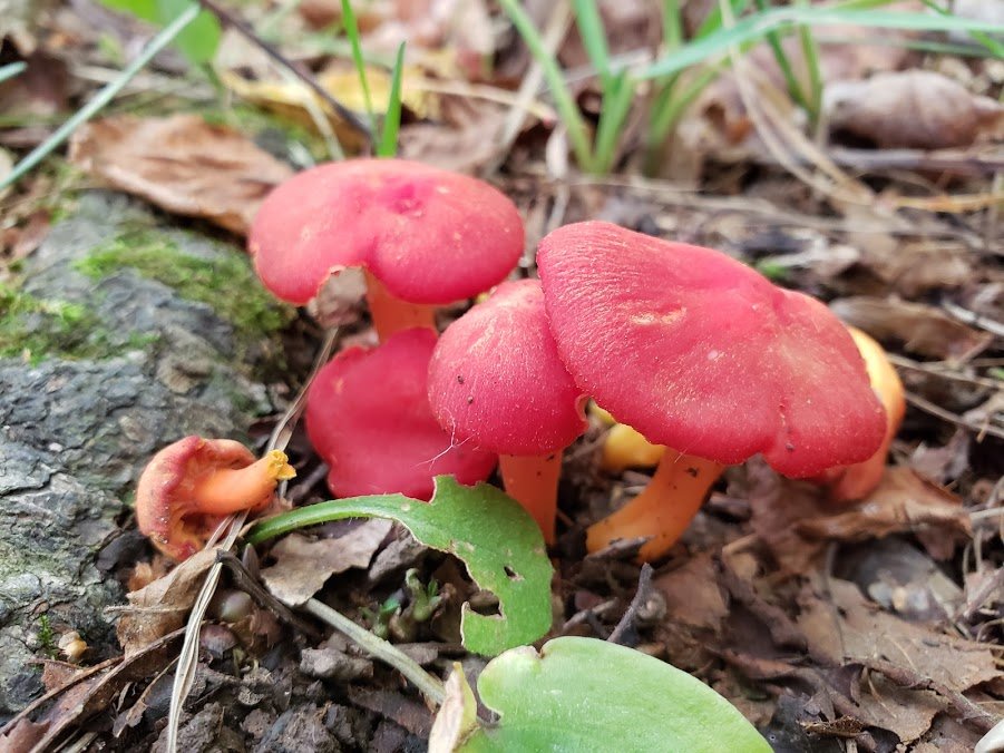
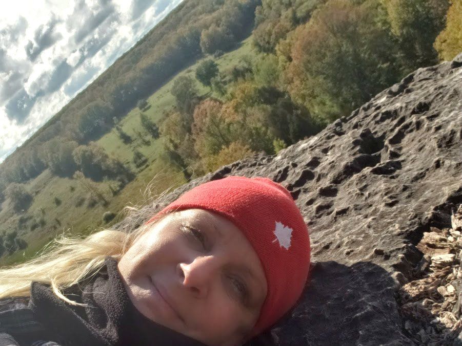
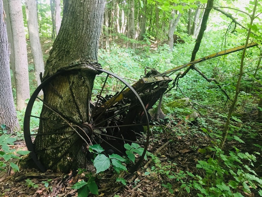
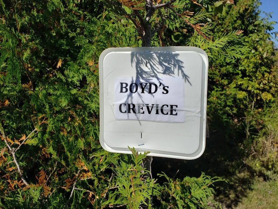
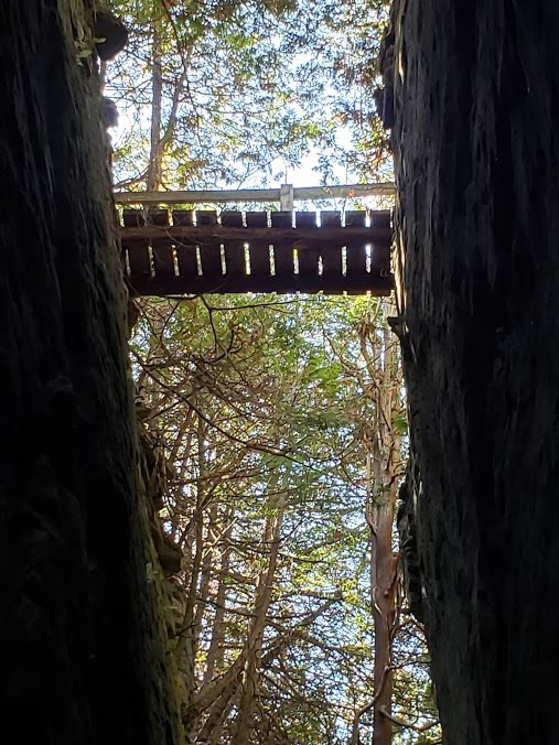
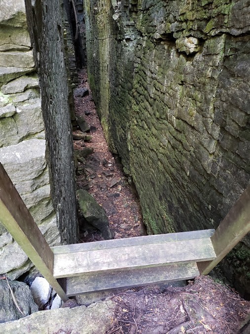
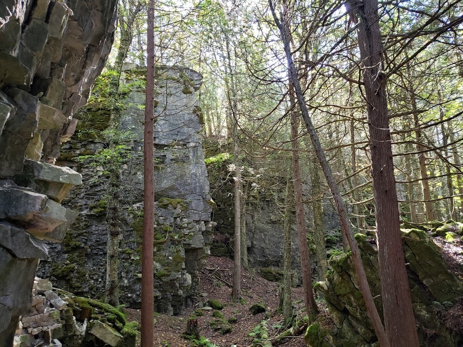
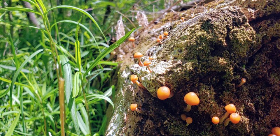
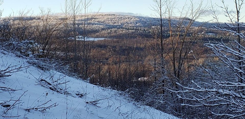
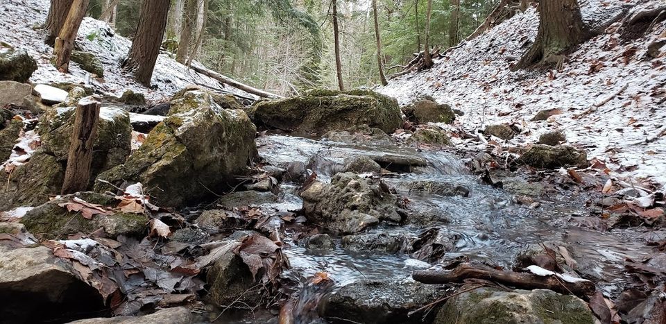
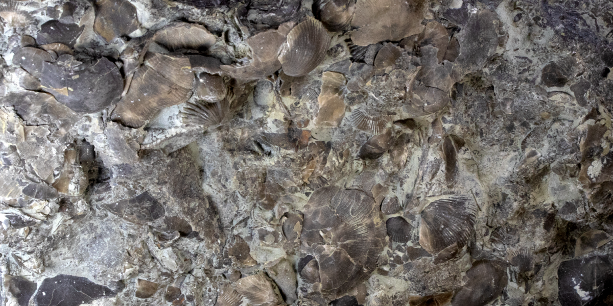
In the middle of a peaceful forest are the remains of an old pioneer road traveled regularly, despite its chronic state of disrepair, by settlers taking up land in the new townships. The Old Mail Road must have been, at least in part, an old Indian route, because ancient artifacts have been found along it. Running northwesterly from Duntroon, called the Sydenham Trail there, to Griersville, the Old Mail Road was in use possibly as early as 1835, although it was not established as a public highway until 1846. Only the eight-kilometre section between Heathcote and Griersville remains in use. I can only imagine that the pioneers also saw what I see today – fields of butterflies among colorful flowers and berries, shale creeks and crevices, spectacular views and yes, many fresh bear tracks moving along the same road just ahead of me. One of my favorites! Signing off, “Hiking with the Viking”. Map #25, Beaver Valley Bruce Trail Club,
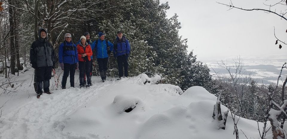
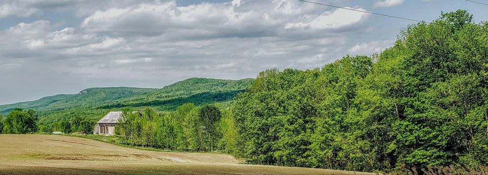
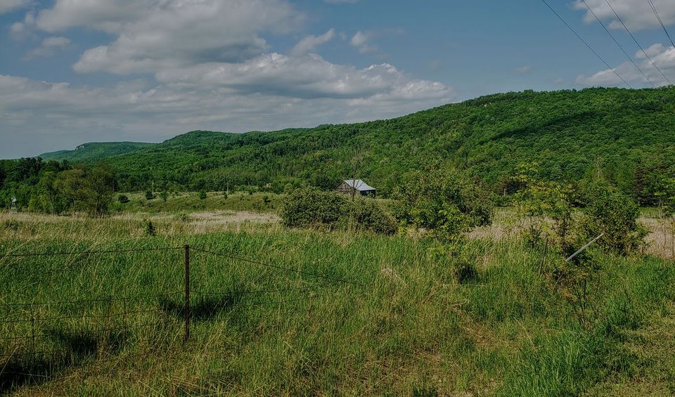
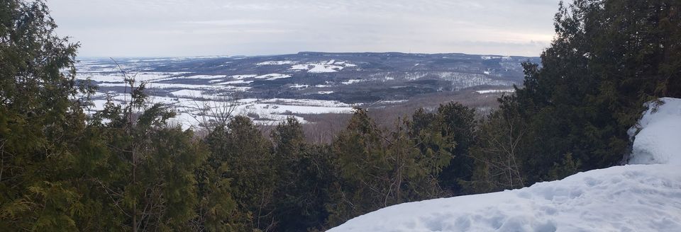
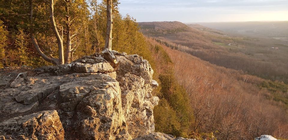
View of Beaver Valley 
Bear Tracks 


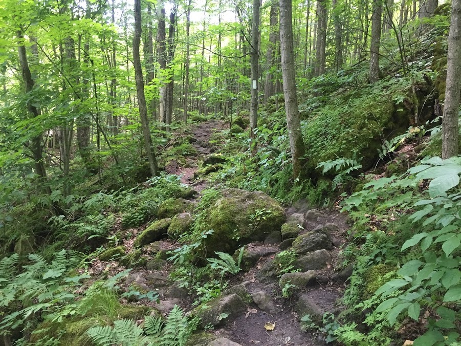
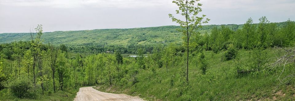
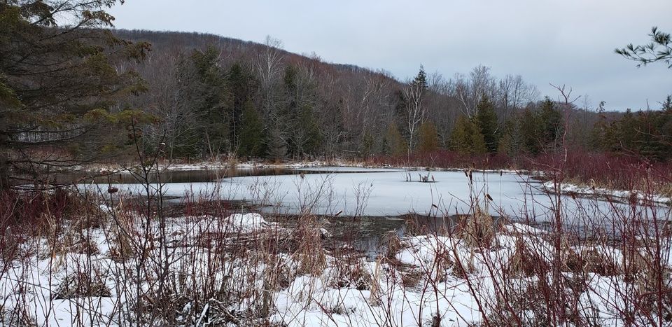
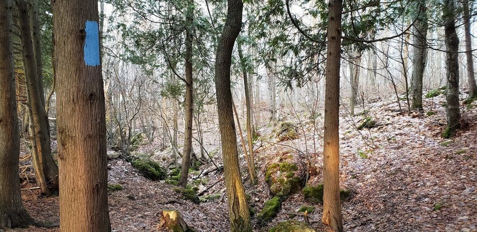
A beautiful forest